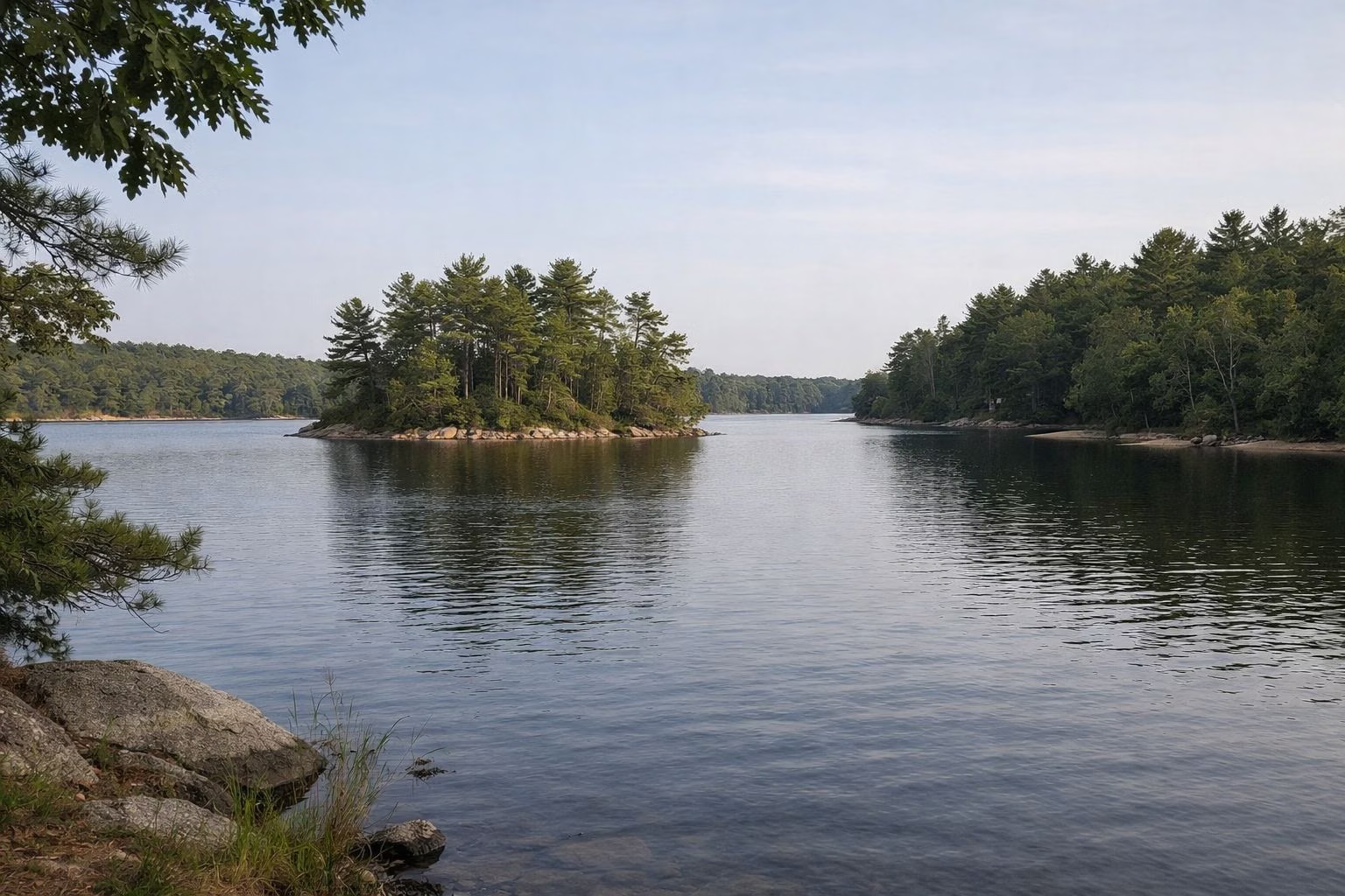
Massasoit State Park —
Your Complete Guide
1,207 acres of pine woods and ponds in East Taunton: a DCR campground, Lake Rico for paddling, a cranberry bog, and about 13 miles of trails, with free parking.
What is Massasoit State Park?
Massasoit State Park is a 1,207-acre state park in East Taunton, Massachusetts, run by DCR. Parking is free and it is open sunrise to sunset all year. It has six named ponds including 195-acre Lake Rico, about 13 miles of trails for hiking and mountain biking, a cranberry bog at the entrance, a large accessible playground, and a tent and RV campground. Only campers can swim, at the Middle Pond waterfront.
The state bought the land in 1962, when it still held working cranberry bogs, and flooded most of them to make Lake Rico in 1973. The park is named for Ousamequin, the Wampanoag leader known by the title Massasoit. A 2008 lightning storm closed the campground for almost ten years; it reopened in August 2018 (history).
Two things to plan for: campsites are booked only online through ReserveAmerica, with no walk-ins (camping guide); and day visitors cannot swim in the park. The nearest DCR beach is Watson Pond State Park in Taunton (swimming).
Massasoit State Park at a Glance
What to Do at Massasoit State Park
DCR lists camping, hiking, biking and mountain biking, non-motorized boating, canoeing and kayaking, fishing, cross-country skiing and hunting.

Camping
84 tent and RV sites (48 electric) in the pines, $17 a night for MA residents. Reservations only.
Sites & Fees →
Lake Rico
A 195-acre lake of coves and islands, made in 1973. Two cartop launches, no motors, trout each spring.
About the Lake →
Hiking
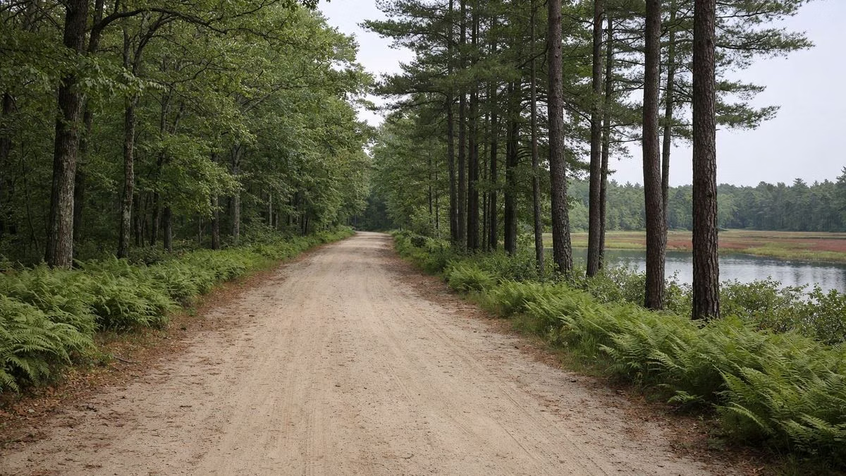
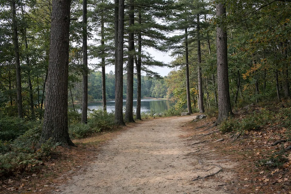
DCR's picks: the 3-mile Five Pond Loop, the 2-mile Rico Trail and the Adams Trail past a cedar swamp.
Trails →
Mountain Biking
The Adams Trail and Five Pond Loop, linked in DCR's 7.5-mile Adams–5 Pond Ride.
Routes →
Fishing & Paddling
Bass, pickerel and stocked trout in Lake Rico; bluegill at Big Bearhole Pond. Canoes and kayaks only.
Fish & Licenses →
Cranberry Bog
The last bog of the old farm, by the entrance. DCR's tip: come in fall, when it turns scarlet.
Fall Color →Trails at Massasoit
DCR's suggested hikes, with DCR's own distances. Carry the blazed-loop map: unofficial paths cross the marked trails.
DCR's signature hike from Turner Street, past several ponds, with a Bog Trail side trip.
The northern end of the park, from the main entrance lot.
From the cranberry bog to Fisherman's Landing on Big Bearhole Pond, over steep hills.
How to Get to Massasoit State Park
One main entrance on Middleboro Avenue, free lots inside.
Main Entrance
1361 Middleboro Ave., East Taunton, MA 02718. Contact station and main lot 0.3 miles in. Parking guide.
Day-Use Area
Big Bearhole Pond, 1.4 miles past the contact station: picnic sites, playground, amphitheater. Picnic areas.
Contact Station
Camper check-in and park questions: (508) 822-7405. Main office (508) 828-4231.
Nearby
For a swim, DCR's Watson Pond State Park and the city boat ramp on Lake Sabbatia are both on Bay Street in Taunton. Down the Taunton River, Dighton Rock State Park shows a boulder carved with Native American petroglyphs, and Freetown State Forest in Assonet has 40 miles of trails and Profile Rock.
Frequently Asked Questions
Can you swim at Massasoit State Park?
Only if you are camping. The unguarded Middle Pond waterfront is reserved for registered campers. Day visitors can swim at DCR's Watson Pond State Park in Taunton in summer.
Is Massasoit State Park free?
Yes for day visits: parking is free and there is no entry fee. Camping costs $17 a night for Massachusetts residents and $55 a night for non-residents, plus $6 a night for electric.
Where is Massasoit State Park?
1361 Middleboro Ave., East Taunton, MA 02718, about 30 miles south of Boston and 20 miles east of Providence, near Routes 495 and 24.
Are dogs allowed at Massasoit State Park?
Yes, on a leash no longer than 10 feet at all times, including the campground. Dogs are not allowed on the playground or in designated swim areas from May 1 to September 15.
What are the hours at Massasoit State Park?
Sunrise to sunset, every day of the year. The campground is seasonal.
Does Massasoit State Park have yurts or cabins?
No. The campground has tent and RV sites only, booked through ReserveAmerica.
How big is Massasoit State Park?
1,207 acres, with about 255 acres of lakes and ponds and about 13 miles of trails.