Hiking at Massasoit
Massasoit State Park has about 13 miles of trails through oak and pine woods, past ponds, a cedar swamp and a cranberry bog, and they are easy to moderate. DCR suggests three hikes: the 3-mile Five Pond Loop from Turner Street (easy), the 2-mile Rico Trail from the main entrance lot (easy), and the Adams Trail from the cranberry bog to Fisherman's Landing on Big Bearhole Pond (2.1 miles one way or 4.5 miles round trip, moderate). Leashed dogs are welcome, and the trails are shared with bikes and horses.
Hiking at a Glance
Five Pond Loop (3 Miles, Easy)
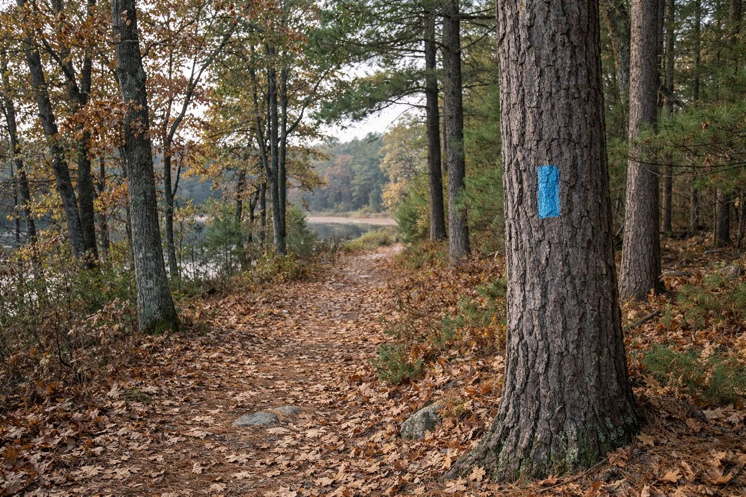
DCR's signature hike follows the blue-blazed Five Pond Loop from the Turner Street trailhead in East Taunton, using the blazed-loop map. It is about 3 miles round trip and easy, and DCR suggests a short side trip on the Bog Trail. Full guide: Five Pond Loop.
Rico Trail (2 Miles, Easy)
Start at the main entrance lot by the contact station. DCR describes the Rico Trail as tucked into the northern end of the park; it is about 2 miles and easy, the shortest of DCR's suggestions and a good pick with young children. Lake Rico lies along the park's north-western side.
Adams Trail and the Cedar Swamp (2.1 or 4.5 Miles, Moderate)
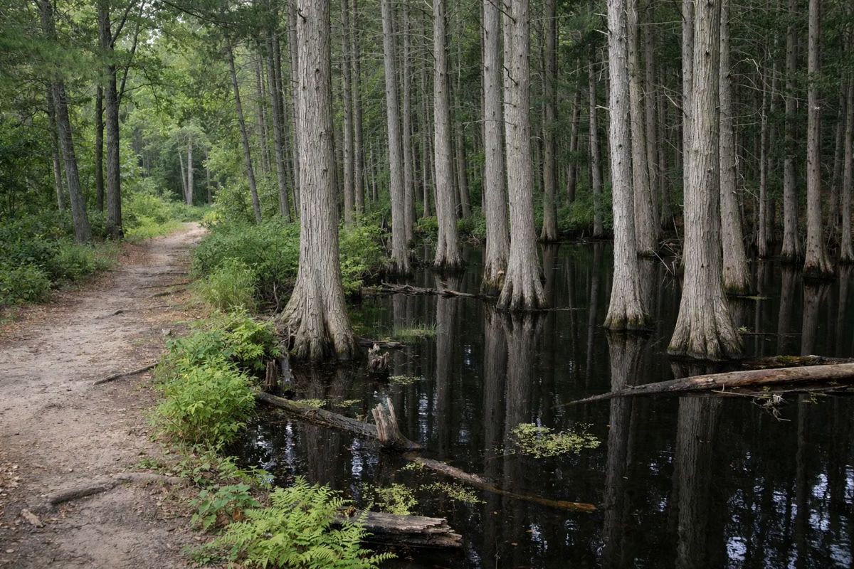
Begin near the cranberry bog at the main entrance lot. The Adams Trail runs down the park's eastern side to Fisherman's Landing on Big Bearhole Pond, about 2.1 miles one way. DCR rates it moderate: it climbs some steep hills and passes a white cedar swamp. Walk back the same way for a 4.5-mile round trip, or arrange a car at the Big Bearhole Pond day-use area. Cyclists ride it too; see mountain biking.
What the Trails Are Like
Most of the park is rolling hills under mixed oak and white pine, and DCR's plan notes the trails are often within view of a lake or pond. Expect short steep pitches on the Adams Trail. Elevation in the park runs from about 12 to 128 feet above sea level, so there are no big climbs.
Bridle Trails and Horseback Riding
DCR lists horseback riding among the park's activities, and its map shows a bridle trail with its own parking. There is no stable or rental in the park; bring your own horse and yield as the trail signs direct.
Before You Go
- Carry a map. DCR's plan says trail markings are below its standard and unofficial trails cross the official ones. See the trail map.
- Plan your time. DCR estimates an average pace of 1.5 miles an hour; start early and finish before sunset.
- Bring water. DCR warns that drinking water may not be available on the trails.
- Wear blaze orange in fall. Hunting is allowed in the park in season.
- Keep groups to 12 or fewer and stay on designated trails.
Walk With a Group
DCR's Massasoit page links to its Southeastern Massachusetts Adult Walking Club, which organises group walks in the region.
Winter
Cross-country skiing is one of DCR's listed activities here, on the trails and forest roads when there is snow.
Hiking at Massasoit FAQ
What is the best hike at Massasoit State Park?
DCR's signature hike is the Five Pond Loop, a 3-mile easy loop from Turner Street that follows blue blazes past several ponds, with a side trip on the Bog Trail.
How many miles of trails are at Massasoit State Park?
About 13 miles, according to DCR's Resource Management Plan.
Is Massasoit good for beginners?
Yes. The Rico Trail (2 miles) and the Five Pond Loop (3 miles) are both rated easy by DCR.
Are dogs allowed on the trails at Massasoit?
Yes, on a leash no longer than 10 feet. Pick up after your dog.
Can you ride horses at Massasoit?
Yes. DCR lists horseback riding, and its map shows a bridle trail with its own parking. There are no rentals in the park.