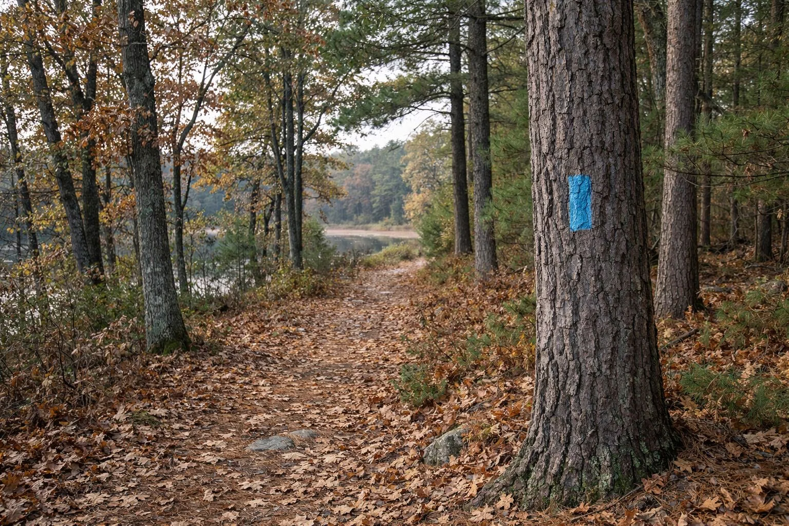
Massasoit Trail Map
DCR publishes two maps of Massasoit State Park: a 2015 park map that shows the ponds, roads and facilities, and a trail map with four named, blazed trails: the Adams Trail, the Bog Trail, the Five Pond Loop and the Rico Trail. Both are free PDFs on mass.gov. Bring one with you, on paper or downloaded to your phone, because DCR's own plan says the park's trail markings are incomplete and unofficial paths cross the official ones.
The Maps at a Glance
Download the Official Maps
- Massasoit State Park trail map (DCR, 2015): the whole park with ponds, roads, the contact station, beach, fisherman's landing, bridle trail parking and the cranberry bog.
- Trail map with blazed loops (DCR): the four named trails, gates, parking areas and trailheads.
- Suggested Hikes, Rides and Paddles (DCR): five recommended outings with distances and trailhead coordinates.
All three are linked from DCR's Massasoit page at mass.gov/locations/massasoit-state-park.
The Four Named Trails
- Five Pond Loop: blue blazes, 3 miles round trip from Turner Street, easy. See Five Pond Loop.
- Bog Trail: a short side trip off the Five Pond Loop.
- Rico Trail: 2 miles, easy, in the northern end of the park from the main entrance lot.
- Adams Trail: runs down the park's eastern side from the cranberry bog at the main entrance to Fisherman's Landing on Big Bearhole Pond; 2.1 miles one way or 4.5 miles round trip, moderate, with steep hills.
Details and DCR's suggested routes are on the hiking page; bike routes are on mountain biking.
What Else the Park Map Shows
The 2015 map names the six ponds: Lake Rico, Middle Pond, Little Bearhole Pond, Kings Pond, Furnace Pond and Big Bearhole Pond (see the ponds). It marks the dam and spillway, the beach on Middle Pond, Fisherman's Landing, the dump station, bridle trail parking, Stall Hill Island and the airport to the west. Its legend shows paved roads, unpaved roads, hiking trails and bridle trails. One note is out of date: the 2015 map labels the campground closed, and it reopened in August 2018.
Reading the Blazes
DCR asks you to follow the painted blazes and signs. Two blazes stacked together mean a junction or a change of direction. Gates on the old park roads are there to keep cars out; walkers, cyclists and riders may pass them.
Unofficial Trails
DCR's plan counts about 13 miles of official trail plus 1.6 miles of unauthorized paths made by dirt bikes, mountain bikers and walkers, some of them through rare-species habitat and wetlands. Some lead out of the park onto private land. Stick to the named trails and forest roads on DCR's maps, and respect private property at the edges.
Trailheads and Parking
- Main entrance lot (1361 Middleboro Ave.): Rico Trail and Adams Trail.
- Turner Street: Five Pond Loop.
- Big Bearhole Pond day-use area: the south end of the Adams Trail at Fisherman's Landing.
Massasoit Trail Map FAQ
Where can I get a Massasoit State Park trail map?
DCR posts two free PDF maps on its Massasoit page at mass.gov: the 2015 park map and a trail map with the four blazed loops.
What are the named trails at Massasoit State Park?
The Adams Trail, the Bog Trail, the Five Pond Loop and the Rico Trail.
How many miles of trails does Massasoit have?
About 13 miles, according to DCR's Resource Management Plan.
Are the trails at Massasoit well marked?
Not everywhere. DCR's own plan says the markings are below its standard and unofficial paths cross the official ones, so carry a map.