About Massasoit State Park
Massasoit State Park is a 1,207-acre state park in East Taunton, Massachusetts, run by the Department of Conservation and Recreation (DCR). The state bought the land in 1962, opened a campground in the late 1960s, and flooded old cranberry bogs to create Lake Rico in 1973. A lightning storm closed much of the park in 2008, and the campground reopened in August 2018. The park is named for Ousamequin, the Wampanoag leader known by the title Massasoit.
The Park in Numbers
Where the Name Comes From
DCR's plan explains that the park takes its name from Ousamequin (about 1581 to 1661), whose honorific title, Massasoit, marked his leadership of the Wampanoag Confederacy. DCR also records that the Massachusetts, Pokanoket and Wampanoag peoples have relationships to this land going back generations; the freshwater ponds, rivers and nearby coast could support a large Native population.
From Cranberry Bogs to a State Park
Taunton dates from 1638, when settlers from Plymouth bought land from Native people in what is now East Taunton. By the time the Commonwealth bought this land in 1962, calling it "outstanding potential for public recreational use", it held forested hills, natural ponds, cranberry bogs still in cultivation and the reservoirs that fed them. A master plan followed, and the campground opened in the late 1960s.
The Making of Lake Rico
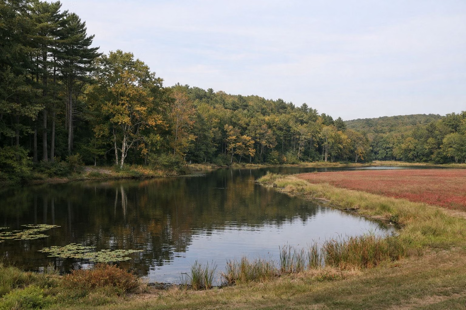
In 1973 the state dammed Furnace Brook and created Lake Rico, flooding the bogs and reservoirs, low ground, and the original Furnace and King's Ponds. Swimming, picnicking and day-use areas were built along the new shore. One cranberry bog survives by the entrance road; see the cranberry bog.
Older Traces in the Woods
DCR's plan records evidence of homes, farms and industry inside the park: an extensive site near the entrance road, mill ruins near Big Bearhole Pond, and an iron foundry site. The Furnace Brook Historic Site has a kiosk, and DCR plans an interpretive panel there. Please leave any stonework or foundations as you find them.
Closed for a Decade
In 2008 a lightning storm disabled the park's underground electrical system, closing the campground and its facilities. Renovations began in 2015: new signs and lighting, running water and electricity restored, the Middle Pond waterfront and comfort stations renovated, the contact station and roads repaired. The campground reopened in August 2018. See camping.
The Land Today
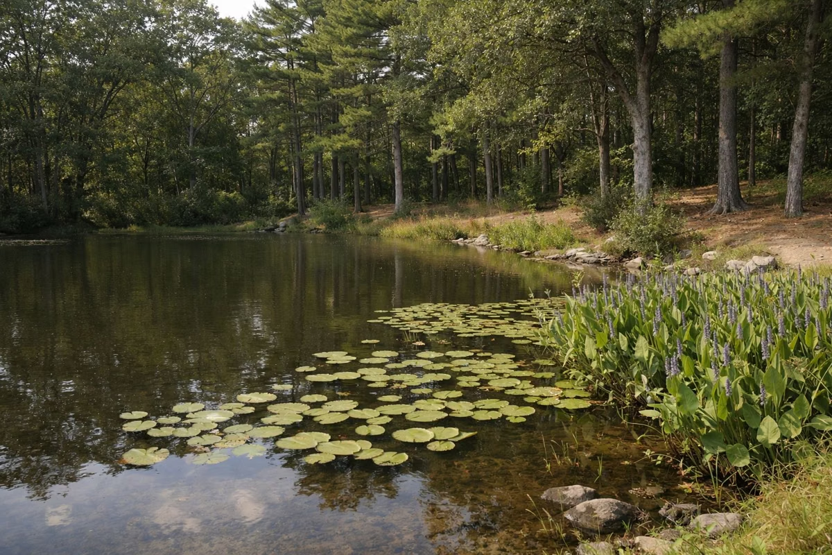
Rolling hills covered in mixed oak and white pine make up most of the park. More than a fifth of it is water: Lake Rico, Middle Pond, Big and Little Bearhole Ponds and smaller ponds, about 255 acres in all (see the ponds). About 38 acres of the park lie along the Taunton River, a designated Wild and Scenic River, on a separate northern parcel off Vernon Street in Middleborough. Taunton Municipal Airport sits 500 feet west of the park, and planes pass overhead.
Plants and Wildlife
DCR counts five state-listed rare species tied to the park's wetlands, ponds and river, plus coastal plain pondshores where Plymouth gentian grows, and three small kettlehole bogs. These areas cannot take foot traffic, which is why DCR asks everyone to stay on marked trails.
Who Runs It
DCR's South Region manages Massasoit as part of its South Coast District. The plan lists the Friends of Massasoit State Park as the park's partner group. This website is an independent guide and is not run by DCR.
Getting Here
Massasoit is about 30 miles south of Boston and 20 miles east of Providence, near Routes 495 and 24. See parking and directions and hours.
About Massasoit State Park FAQ
Who is Massasoit State Park named after?
Ousamequin (about 1581 to 1661), the Wampanoag leader whose honorific title, Massasoit, marked his leadership of the Wampanoag Confederacy.
How big is Massasoit State Park?
1,207 acres, according to DCR's Resource Management Plan, across Taunton, Lakeville and Middleborough.
When did Massasoit State Park open?
The state bought the land in 1962 and the campground opened in the late 1960s.
Why was Massasoit State Park closed?
A lightning storm in 2008 knocked out the park's electrical system. After renovations, the campground reopened in August 2018.